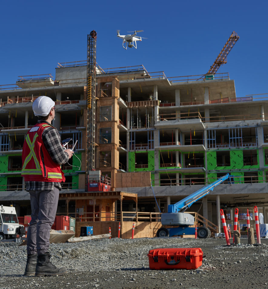
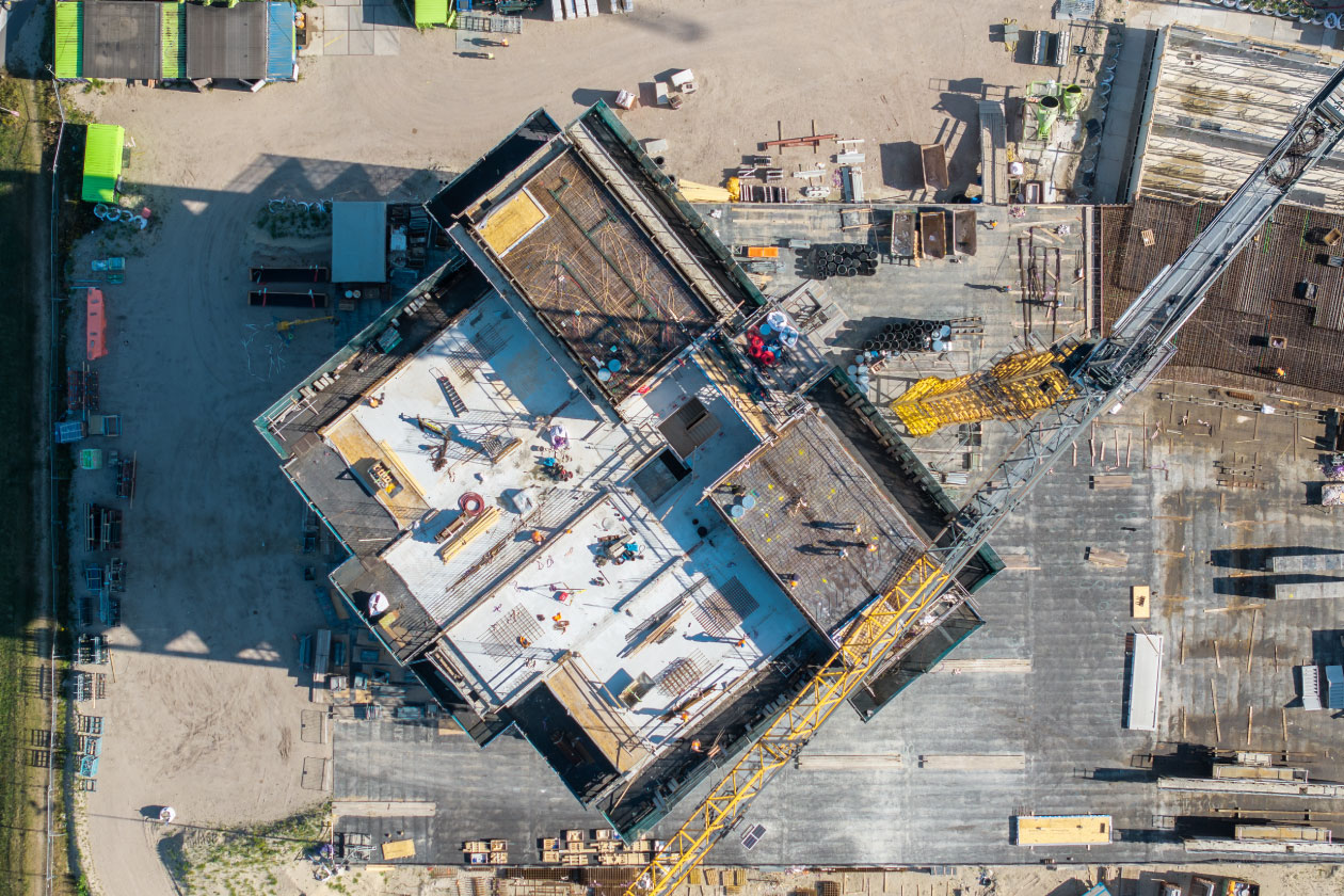
Capture large or hard-to-reach areas quickly and safely with high-resolution aerial imagery and detailed orthomosaic maps. Our FAA-certified pilots handle all flight planning and compliance, while processed visuals are delivered via the cloud for instant access – giving your team a complete view for progress tracking and quality control.
We were able to revert back to the photographic documentation provided at specific elevations in the interior to facilitate the design and construction process by better understanding our limitations based on existing conditions now covered by finished drywall. The software could not be easier to use, and your team’s due diligence has been spot on./Construction process by better understanding our limitations based on existing conditions now covered by finished drywall. The software could not be easier to use and your team’s due diligence has been spot on.
Mark Ramirez | President
RAM Construction
Testimonial
Hexagon Multivista delivers powerful forensic documentation. Their photos helped resolve leaks and HVAC issues quickly, without demolition, enabling faster problem resolution and greater confidence across projects.
Jeff Gammill | Project Manager
Claro Development
Testimonial
With trained, experienced professional documentation specialists, Multivista captures detailed and precise job site information that provides optimal value for problem solving around design or owner changes, as well as error detection and issue resolution. What used to take days of coordination is now just a meeting invite and a link away.
Jake Reed | Project Manager
Matthews Southwest
Testimonial
Multivista documentation is a very powerful forensic tool when problems come up. Two recent examples include tracking down a leak in the ceiling and using Multivista’s photos to prove a mechanical subcontractor had not installed dampers in the AC system, which was causing temperature and flow problems. In both cases, no demolition was required prior to fixing the issues. Looking forward to many projects to come.
UK NHS Estates Team
Testimonial
The photographic documentation provided is starting to come in very handy as we officially closed up the walls and are working toward interior finishes. Our team is winning position three out of three times already this week. We have already recouped well beyond the cost of your services in the amount of $5,000.
Mark Ramirez | President
RAM Construction
Testimonial
The Multvista platform is easy to use and allows us to find the exact images we need quickly, and for many years to come. Multivista saves stakeholders time and money and we’d highly recommend their services on any construction project.
Jake Reed | Project Manager
Matthews Southwest
FAQs
What are construction UAV & drone services?
UAVs capture high‑resolution aerial imagery and video, providing a bird’s‑eye view of project progress and site conditions.
How do UAV & drone benefit construction projects?
They deliver accurate, real‑time visuals for monitoring, safety checks, and documentation – helping reduce risk, improve communication, and streamline decision‑making.
How is UAV & drone data used in construction?
UAV/Drone imagery and video are integrated into project documentation, progress tracking, and site analysis, giving teams clear, actionable insights that complement BIM and other digital tools.
Who uses construction UAV & drone services?
Owners, contractors, and project managers rely on UAVs to track progress, verify work, and share transparent updates with stakeholders.
Get in touch
Reach out to explore construction drone services & UAV options for your project.